
Last week the hubby and I took a road trip to the four corners. Apparently he thought this was an important place to see. Having been there, I informed him that there was absolutely nothing to see there but a concrete monument. Still, he insisted that this was a must see on his bucket list so I booked us a room and off we went. I don’t know if you’ve seen what absolute desolation looks like, dear reader, so let me show you.
This is the most exciting part of the four corners monument. Incidentally, this is apparently no longer considered the actual location of the four corners. According to Conde Nast Traveler, the GPS location of the four corners is 1,807ft to the west. Traditionalists argue that the current location is where the original borders were set and therefore, the four corners are exactly where they are supposed to be. You decide. I’m getting out of the heat.
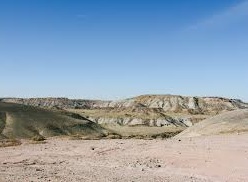
Here’s what it looks like outside the monument…for miles…and miles….and miles.
 The moon landing could have easily been faked and filmed here instead.
However, the road trip from Colorado Springs, CO to Towoac was wonderful! Towoac is a small town just outside of Cortez, CO located on the Ute Indian reservation. We stayed at the Casino/Hotel on the reservation. If you’re interested in the area you can see some reviews I did on tripadviser.com here Ute Mountain Casino and Hotel.
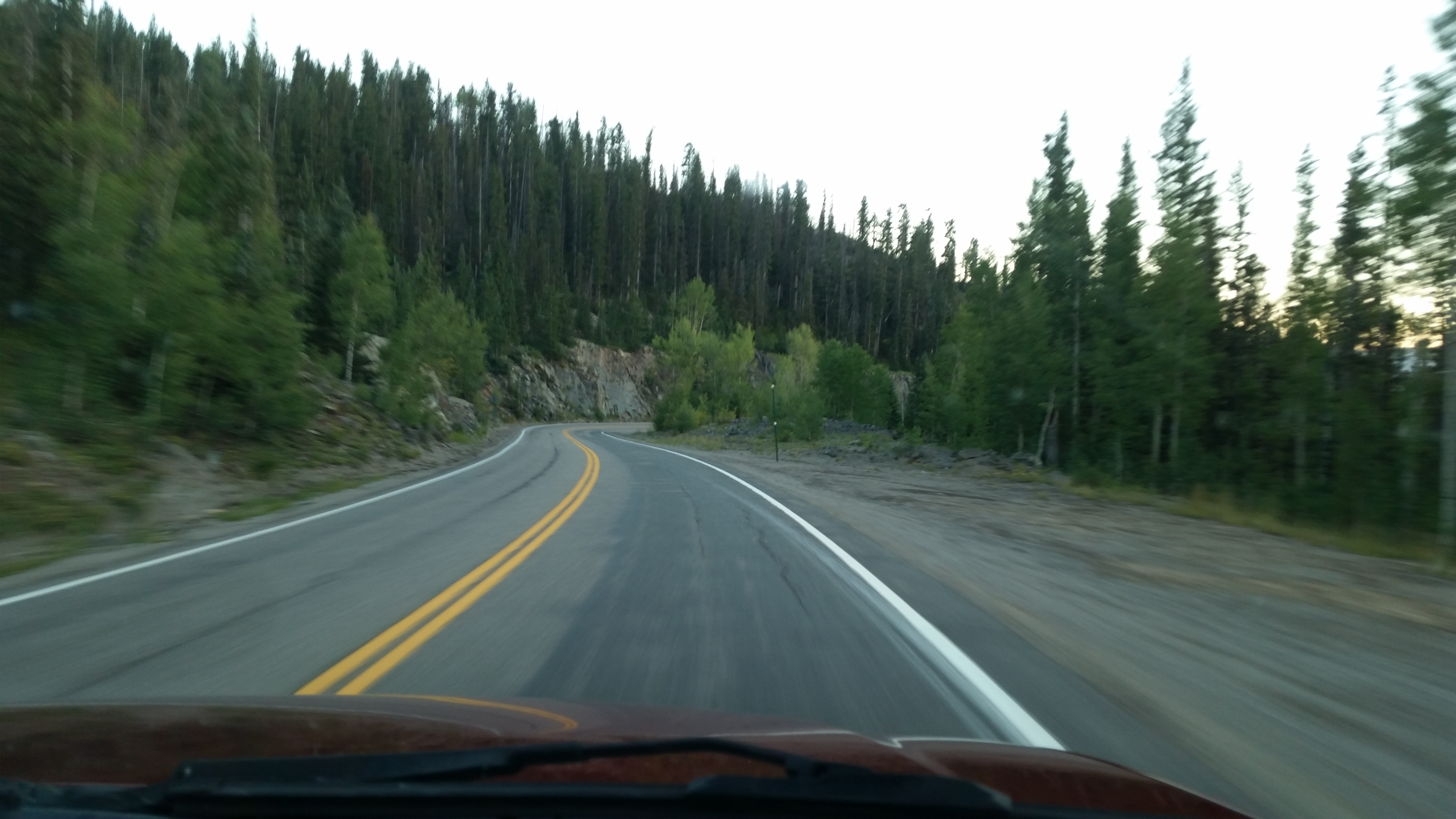
Changing colors and really green mountains were a beautiful site after the last 10 years of drought we’ve had in Colorado.
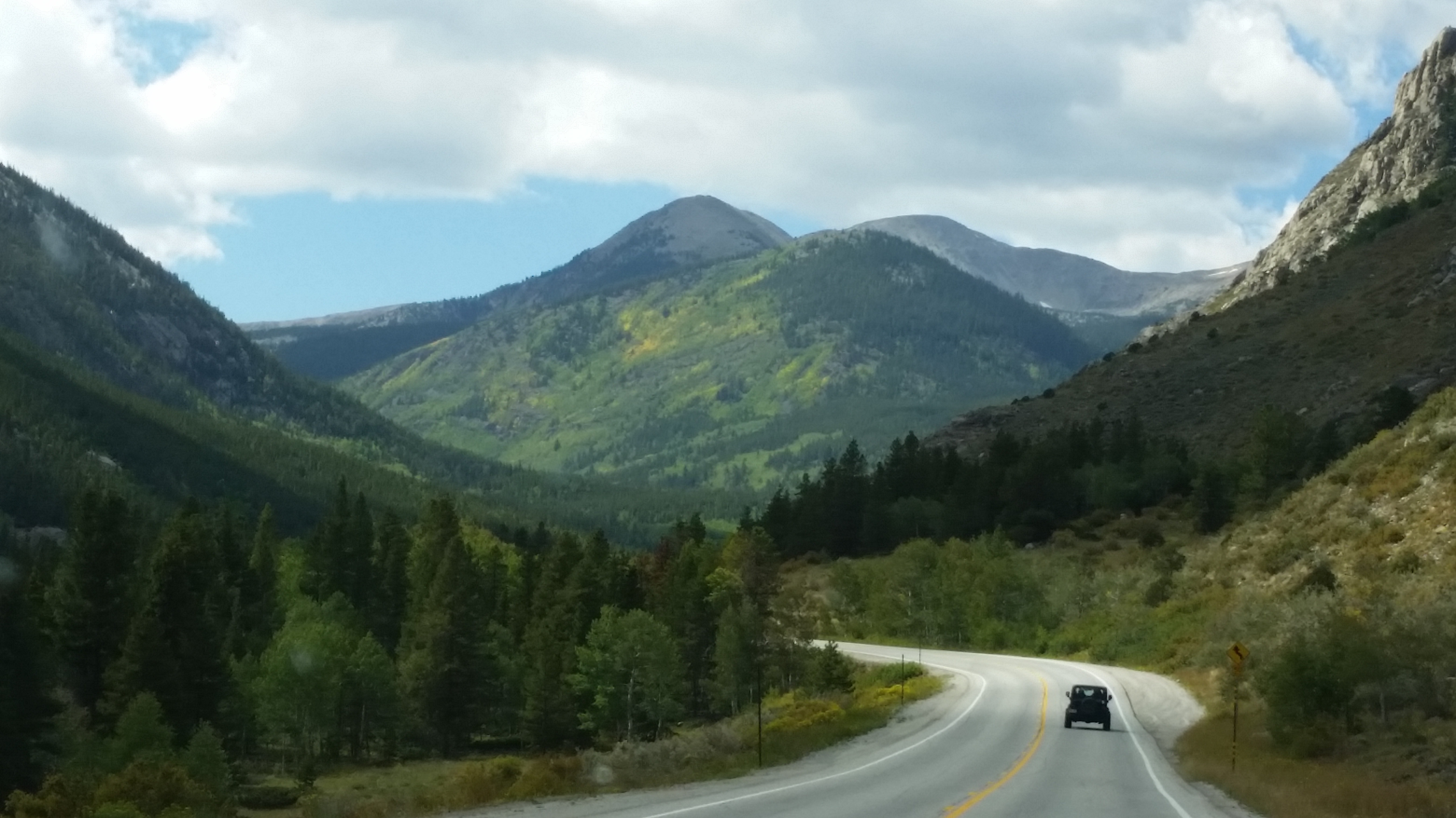
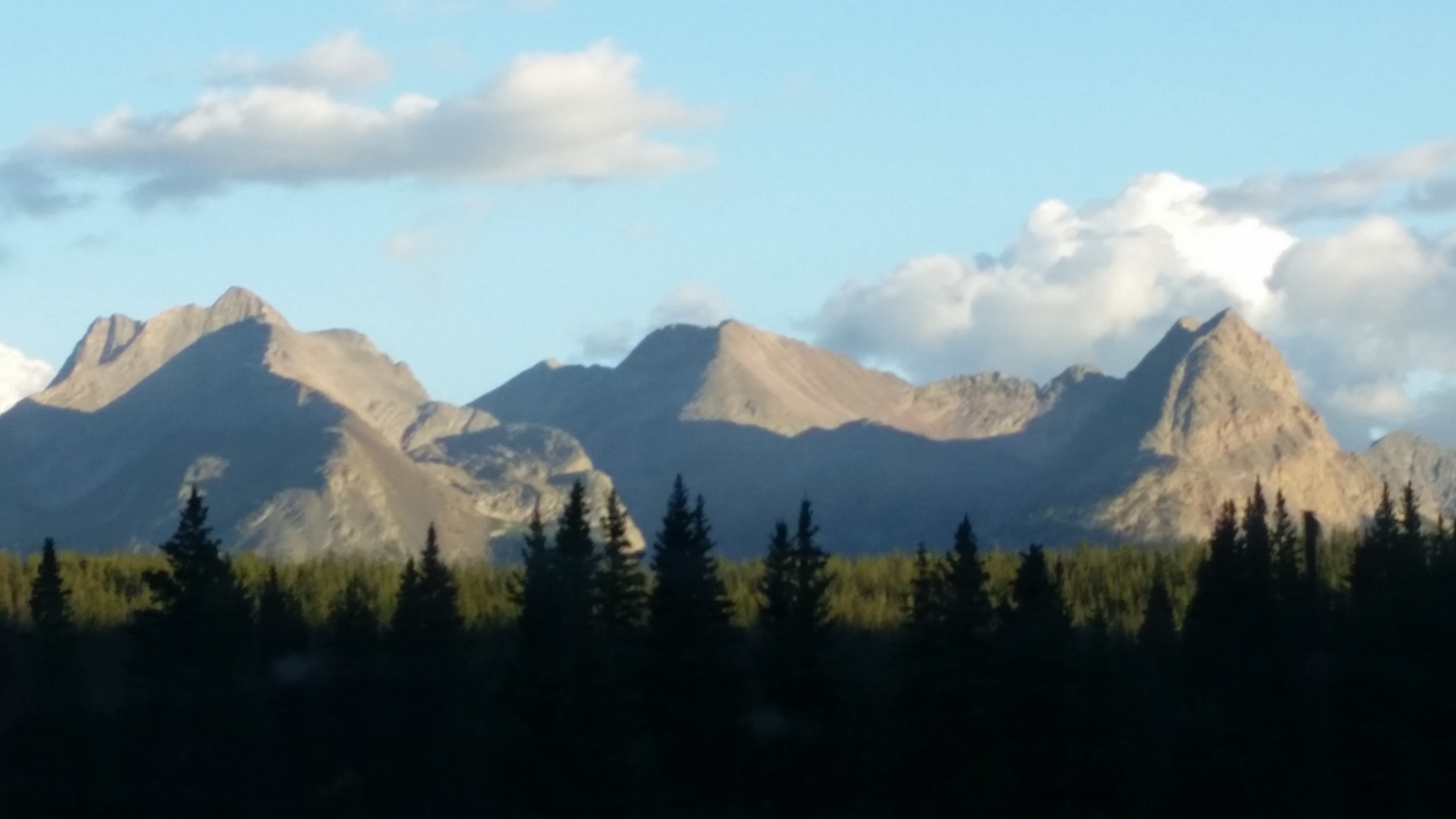
We got a great view of the Collegiate Peaks as we bypassed Buena Vista. That would be Mt. Yale, Mt. Harvard, and Mt. Princeton. No joke, you can’t make this stuff up. All are fourteeners, meaning they are 14,000ft or more high.
Oh, and we ran into this guy…

From there we traveled through lush mountain forests and over Red Mountain pass where evidence of the mining booms still stand. We went through Silverton, elevation 9,308ft, and Ouray, elevation 7,792ft.


Ouray, CO.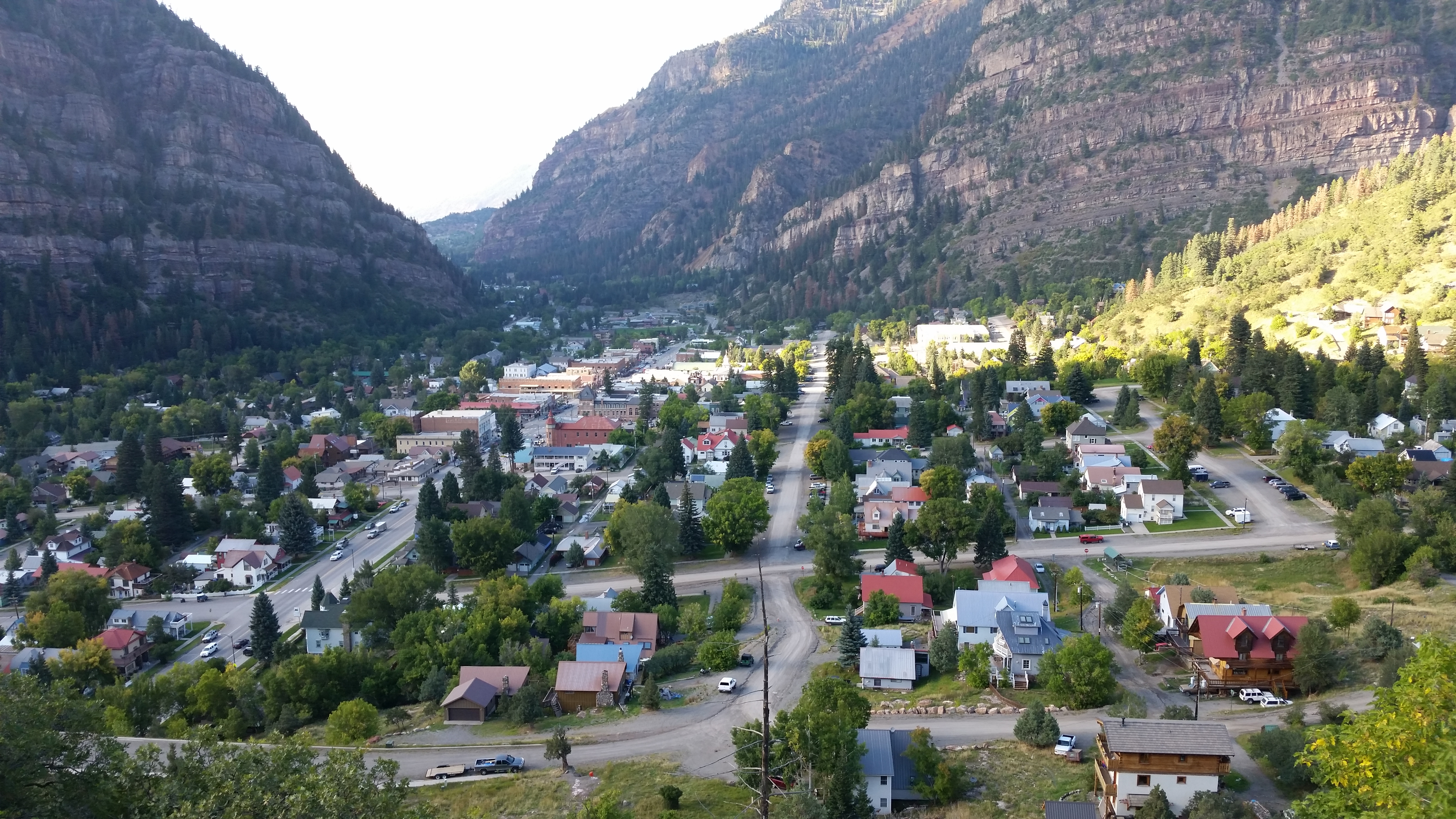

The other objective of this trip was Mesa Verde National Park. We also spent a night in Pagosa Springs and had a somewhat sobering trip through Wolf Creek Pass, but I’m going to save that for the other half of this long photo essay. Until then, please enjoy some more photos of our great Rocky Mountains!
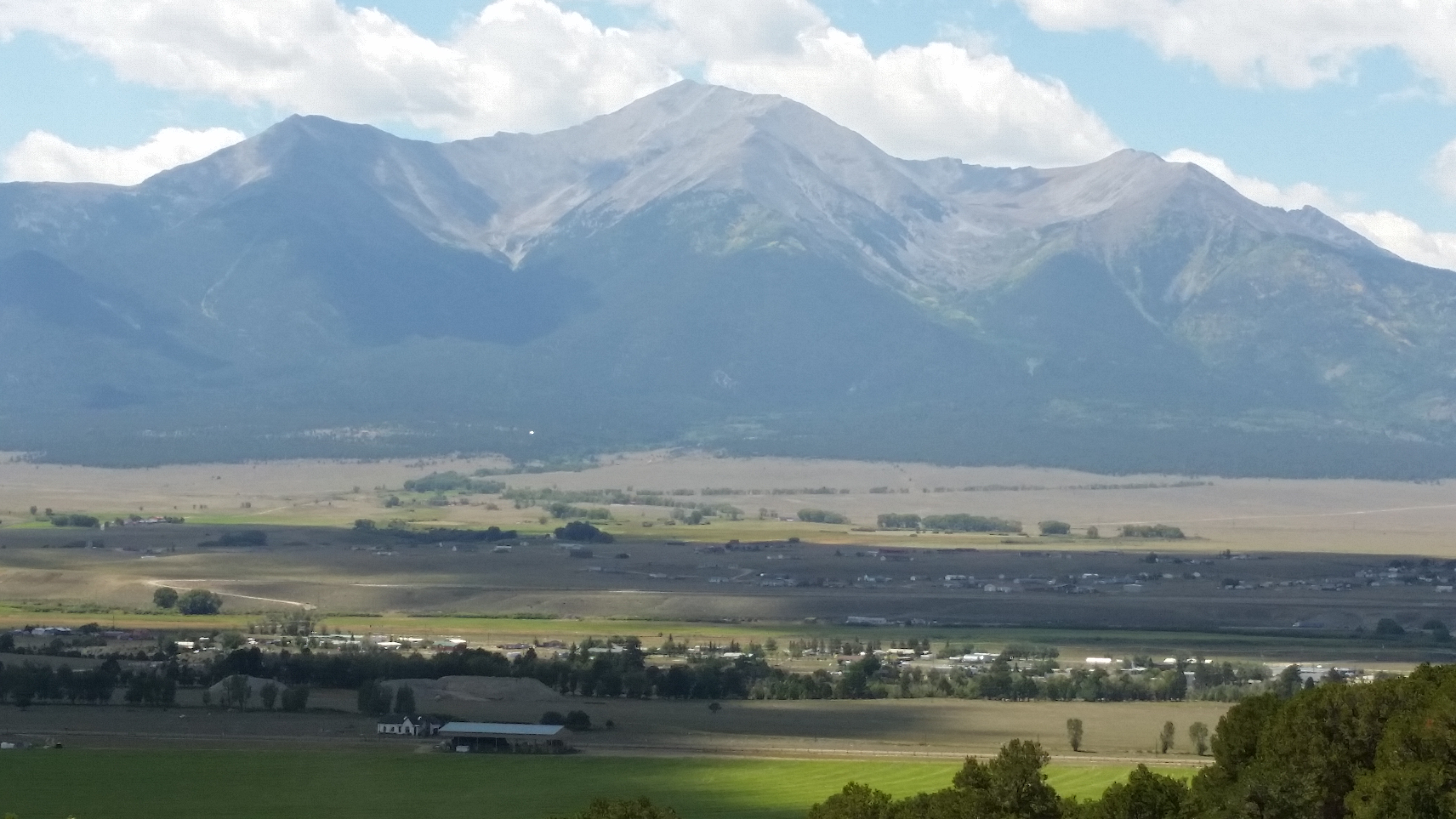
The Chalk Cliffs, Buena Vista, CO.


Curecanti National Recreational Area near Gunnison, CO. The water level is a great sign of some recovery from drought.
Another good sign, streams and waterfalls to be seen around almost every bend in the road!
To be continued…
